 Editorial NexoScience
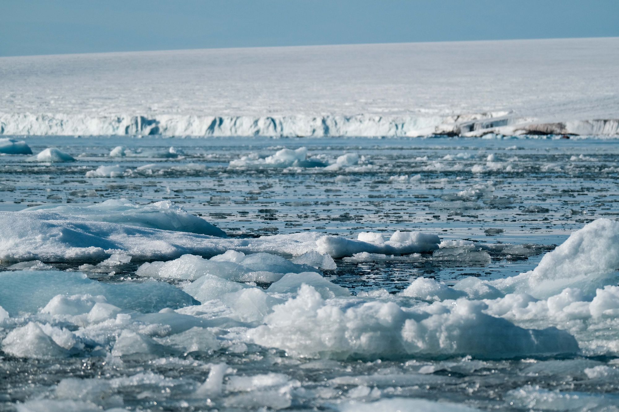
Only about 174 feet (53 meters) of water separates Alaska from Siberia at the Bering Strait. Drain the sea by that much and you could walk between continents. During the last ice age, that is roughly what happened. So much water was locked up in ice sheets that sea level sat about 425 feet (130 meters) lower than today, and a broad, grassy plain called Beringia joined Asia to North America. That plain, the Bering land bridge, is often pictured as a highway that stood open for most of the ice age, carrying mammoths, horses and eventually the first people into the Americas. The harder question has always been when the Bering land bridge formed in the first place.
The bridge turns out to be young. A team from Princeton University and the University of California, Santa Cruz, led by Jesse Farmer with Tamara Pico as corresponding author, found that the Bering Strait was still underwater from at least 46,000 years ago until about 35,700 years ago. Only after that did falling seas expose the land. So the land bridge formed within about 10,000 years of the Last Glacial Maximum, the coldest stretch of the ice age, which ran from about 26,500 to 19,000 years ago. The work appeared in the Proceedings of the National Academy of Sciences at the end of 2022. It changes how fast we think the great ice sheets grew, and when people could first have walked into the Americas.
How Arctic plankton recorded the Bering Strait
Pacific water carries a chemical fingerprint. Today about a million cubic meters of fairly fresh Pacific seawater flow north through the Bering Strait every second. That water brings nitrate, the main nitrogen nutrient for ocean life, and its nitrate is rich in nitrogen-15, a slightly heavier form of the element. On the shallow shelves north of the strait, microbes push that ratio even higher. The upshot is a sharp contrast. In the western Arctic, where Pacific water spreads, the nitrate feeding surface waters carries noticeably more nitrogen-15 than it does in the eastern Arctic or the North Atlantic. Shut the strait and that Pacific signal should fade out.
Tiny shells kept the score. To read the signal back in time, the team turned to Neogloboquadrina pachyderma, a plankton species about the size of a grain of fine sand that builds a chalky shell and sinks to the seafloor when it dies. Organic matter trapped inside each shell records the nitrogen of the water it grew in. The researchers picked about 1,500 shells per sample from mud cores drilled on the Mendeleev Ridge in the western Arctic, at three sites within 224 miles (360 kilometers) of one another. A fourth core, from the Lomonosov Ridge near the North Pole, served as a control, because Pacific water doesn’t reach it. Let me explain why that matters. If all four sites had changed together, the cause would be the Atlantic or the climate. If only the western ones changed, the cause would be the strait.
The record flips twice. The cores reach back about 50,000 years, the limit of radiocarbon dating. Before roughly 35,000 to 40,000 years ago, all three western sites carry the Pacific fingerprint, as strong as it is today, while the control site stays clearly lower. Then, within about an inch (2 centimeters) of mud, the western values drop and match the central Arctic. They stay low through the peak of the ice age and jump back only around 11,000 years ago, when melting ice flooded the strait again, a date already known from independent methods. Arctic rivers can’t fake the early signal, since the nitrogen they carry is too light. The team puts the first switch, the moment Pacific water stopped arriving and the land bridge rose, at about 35,700 years ago.
What a flooded strait means for ice age sea levels
The strait works as a tide gauge. A flooded Bering Strait 46,000 years ago isn’t just a footnote about geography. It pins down how much ice the world held. Estimates of global sea level between 50,000 and 30,000 years ago range from about 80 to 345 feet (25 to 105 meters) below today. That gap is larger than the rise you’d get from melting every bit of ice on Antarctica. The team ran simulations of sea level at the strait, which account for how ice sheets press down and bend the Earth’s crust. The standard ice histories left the strait dry during that period, so they clash with the plankton. Only histories with far less ice fit, ones in which ice volume back then was under half of what it reached at the glacial peak.
The ice sheets grew late and fast. “Our results mean that more than 50% of the global ice volume at the Last Glacial Maximum grew after 46,000 years ago,” Pico said when the study came out. That leaves a climate puzzle. Temperature records suggest the world back then was only slightly warmer than at the peak of the ice age, so why was there so little ice? One option is that ice became more sensitive to carbon dioxide once the planet was already cold. But CO2 fell only from about 220 to 190 parts per million between 40,000 and 30,000 years ago, a modest drop to build that much ice. Another option is that summer sunlight in the far north, which was weakening at the time, mattered more than the global average temperature. The authors don’t pick a winner.
A closed strait wasn’t needed for abrupt climate swings. Climate models had suggested that shutting the Bering Strait was a precondition for the sudden, thousand-year swings in Northern Hemisphere climate during the last ice age. The reasoning was that fresh Pacific water flows through the Arctic into the North Atlantic, where it affects the sinking water that drives the ocean current that keeps Europe mild. The plankton record shows those swings happened both while the strait was open, from 46,000 to 36,000 years ago, and while it was dry. So closing the strait wasn’t the trigger.
The Bering land bridge and human migration to the Americas
People may have crossed almost as soon as they could. The new date lines up with genetics in a striking way. Humans were already in northern Siberia around 45,000 years ago. A distinct group that geneticists call Ancient Beringians, the direct ancestors of Native Americans, split from East Asians about 36,000 years ago, give or take 1,500 years. And recent evidence places people in North America between 23,000 and 21,000 years ago, before the harshest part of the ice age. Set beside a land bridge that appeared about 35,700 years ago, those dates suggest humans headed toward the Americas as soon as the land allowed it. “People may have started going across as soon as the land bridge formed,” Pico said. If that’s correct, the authors wrote, it points to a strong drive to migrate among ice age people in Siberia.
An old idea gets its due. The result also backs the geologist David Hopkins, who long ago reported field evidence that the strait was underwater before the glacial peak, a claim that stayed in dispute. And it clears up a common mix-up between the Bering land bridge and the Bering Strait. They’re the same place at different sea levels. When the ocean stands above the strait’s floor, it’s a waterway between the Pacific and the Arctic. When the ocean drops below it, the seafloor becomes dry land, and Beringia appears.
What the Arctic mud record can’t settle yet
The clock has some slack. The dates carry real uncertainty. The age models have errors of up to 3,000 years either way, and the mud built up so slowly that burrowing animals could have smeared the record. One western core puts the drop at 40,000 years ago and the other two at 35,000. The team argues it was a single shared event, which centers the estimate on 35,700 years ago, with the middle half of the range spanning about 33,300 to 39,000. The sea-level simulations assume the strait’s floor kept the same depth for 50,000 years. They also depend on the size of the nearby Cordilleran Ice Sheet over western Canada, which field evidence barely constrains, although the three versions tested shifted the answer by less than 33 feet (10 meters). And the link to human migration is a match in timing, not proof of cause. The authors note that archaeological sites from that era, especially in eastern Beringia, are too sparse to show what actually drove people to move.
The strait could become a longer yardstick. The authors propose pushing the Bering Strait record further back in time, to test how ice and climate interact across whole glacial cycles. For now, the picture of Beringia has shifted. It wasn’t a permanent bridge that stood through the entire ice age. It rose late and fast, and the first people to use it may not have waited long.
Source: Farmer, J. R., Pico, T., Underwood, O. M., Cleveland Stout, R., Granger, J., Cronin, T. M., et al. “The Bering Strait was flooded 10,000 years before the Last Glacial Maximum.” Proceedings of the National Academy of Sciences (2022). DOI: 10.1073/pnas.2206742119