 Editorial NexoScience
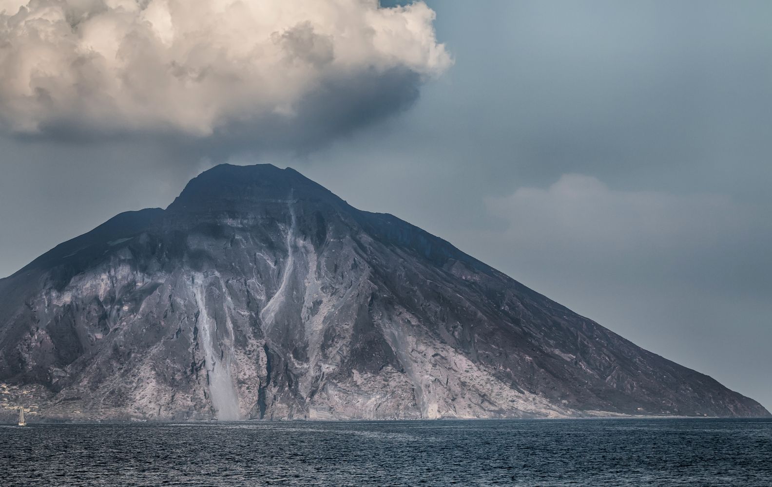
For about 11 hours on January 15, 2022, magma and seawater fought it out inside Hunga volcano in Tonga. It turned into one of the most explosive eruptions of the past century. The plume shot more than 34 miles (55 kilometers) high and pushed vaporized seawater into the stratosphere, and pressure waves from the blast raced around the planet. Then came the water. The tsunami reached about 130 feet (40 meters) high at distances of up to 60 miles (100 km) from the volcano, the highest ever recorded from an underwater eruption. It was bigger than the wave from Krakatau in 1883, which killed more than 30,000 people, yet in Tonga few lives were lost.
Researchers now think they know part of why the Hunga Tonga tsunami got so big. The floor of the volcano’s caldera, the bowl-shaped basin that forms when the ground above a magma reservoir caves in, dropped by roughly 3,300 feet (1 km) while the eruption was still underway. Marta Ribó of Auckland University of Technology, Shane Cronin of the University of Auckland, Sung-Hyun Park of the Korea Polar Research Institute and their colleagues reported the work in the journal Nature Geoscience. Their conclusion: the speed and style of that collapse probably made the tsunami worse.
A small caldera punched far above its size. Hunga’s caldera is only about 2.5 miles (4 km) across, which puts it in roughly the smallest 12% of 177 calderas in a global database. What sets it apart is depth. It sank about a quarter as far as it is wide, a steeper ratio than most calderas under 6 miles (10 km) across, and close to well-known ones such as Newberry in the United States and Somma-Vesuvius in Italy. The authors suggest the volcano’s underwater body, built largely from loose ash deposits and volcanic sediment, was weak enough to let the floor drop that far.
The “before” picture was a stroke of luck. Most underwater calderas have never been mapped in detail, and many only at coarse resolution. Hunga was the exception. A new island grew there during an eruption in 2014 and 2015, and the attention it drew meant crews mapped the seafloor in November 2015 and May 2016. After the 2022 eruption, ships and an uncrewed surface vessel surveyed the summit again in April, May, July and October. The team merged all of it with satellite elevation models, checked against NASA’s ICESat-2 laser altimeter, into one 3D model of the whole volcano, above and below the waves. Without that baseline, a before-and-after comparison would have been close to impossible.
The bowl went from shallow to very deep. Before 2022, the central basin sat under 500 to 650 feet (150 to 200 m) of water. Now its deepest point lies about 2,800 feet (850 m) below sea level. Seismic profiles from the Korean research vessel Araon, collected in April 2022, show that up to 500 feet (150 m) of fresh volcanic debris carpets that floor, so the true structural floor sits near 3,300 feet (1,000 m) down. The collapse alone accounts for 6.85 cubic kilometers (about 1.6 cubic miles) of missing volume. The rest of what the eruption removed was scoured off the rim and flanks.
The floor dropped like a piston. Rather than shattering into blocks, the caldera floor seems to have sunk mostly in one piece, the way a piston slides down a cylinder. Along the eastern and southern walls, the maps show a staircase of concentric terraces stepping down toward the center, separated by cliffs 330 to 490 feet (100 to 150 m) tall. The researchers read these steps as the surface traces of faults that let the floor slip downward. The northwest wall, by contrast, is nearly vertical. The collapse was deepest there, right under the vent where the eruption started.
It all happened while the volcano was still erupting. Let me explain how they can tell. As the caldera walls failed, they shed landslides into the basin. Had the floor sunk after the eruption ended, those landslide deposits would rest on top of the ash and rock that rained into the bowl. Instead, the seismic images show landslide material below, between and above those eruption layers. The walls were crumbling while the volcano was still filling the caldera. Timing is everything here, because a seafloor that drops fast drags a huge volume of water down with it in very little time.
A thin roof gave way easily. The top of Hunga’s magma reservoir sat about 1.2 miles (2 km) below the volcano, and the reservoir was 2.5 to 3 miles (4 to 5 km) wide. Picture a broad, thin sheet of ice over a pond that’s being drained. It holds for a while, then fails all at once. Using friction models from earlier studies, the team calculated that a pressure drop of only about 30 megapascals, roughly 300 times the air pressure at sea level, was enough to bring the roof down. In practice, that meant draining just a quarter of the magma in the upper reservoir. Combining the shape of the hole with those pressure estimates, the authors put the eruption’s output at no less than 8 cubic km (about 1.9 cubic miles) of magma.
Seawater may have rushed in through the cracks. The faults that opened as the floor sank could have let seawater reach deep into the shallow reservoir quite suddenly, the researchers wrote. That would change how explosive the eruption became and help feed powerful density currents, fast flows of volcanic debris and water racing down the slopes. Those flows carved gouges more than 330 feet (100 m) deep into the volcano’s flanks and damaged more than 118 miles (190 km) of seafloor telecommunication cables.
The volcano was still breathing months later. In May 2022, sonar picked up plumes of fluid rising from vents on the caldera floor, the largest standing about 1,500 to 1,650 feet (450 to 500 m) tall near the northwest rim. By October, those deep vents had gone quiet, either because magma had pulled back or because minerals sealed them shut. Shallow plumes near Hunga Ha’apai island kept going, a sign that magmatic fluid is still creeping up the faults around the rim. The water inside the caldera also settled into two layers, warm and less salty on top, colder and denser below, much like a crater lake on land.
The tsunami link is likely, not proven. The authors say the collapse “probably” enhanced the tsunami. The paper doesn’t model the waves or directly show that the sinking floor produced them, so rapid collapse is one plausible amplifier among others. Their magma figure is a minimum, because it ignores fresh magma that may have flowed into the reservoir during the eruption. Nobody knows how much loose debris lined the caldera floor before 2022. The seismic signal also couldn’t see very deep through dense, coarse volcanic rock. And this is one volcano and one eruption.
Hunga has plenty of neighbors. The Tonga-Kermadec arc, the chain of volcanoes running from Tonga toward New Zealand, holds at least 74 submarine volcanoes, and 20 of them are caldera complexes. Nearby, the island volcano Tofua and the submarine volcano Fonuafo’ou look a lot like Hunga in shape, composition and caldera size. Hunga itself sits about 40 miles (65 km) north of Tongatapu, home to Tonga’s main population center, and it has done this before: deposits point to an earlier caldera-forming eruption around A.D. 1100. Most of its neighbors have never been mapped closely enough to tell what their floors might do.
Better maps are the first line of defense. The researchers call for “high-resolution repeat seafloor mapping” of underwater calderas, so changes can be caught before and after eruptions rather than reconstructed years later. Data like that, they wrote, would strengthen tsunami early-warning systems and help protect the cables and other infrastructure lying on the seafloor, particularly in poorly surveyed waters such as the southwest Pacific. Hunga gave scientists a rare before-and-after snapshot. The next volcano may not offer one.
Source: Ribó, M., Cronin, S. J., Park, S.-H., Garvin, J., Yeo, I. A., Clare, M. A., et al. “Rapid submarine caldera collapse during the 2022 climactic eruption of Hunga volcano (Tonga).” Nature Geoscience (2026). DOI: 10.1038/s41561-026-02099-7